June 2, 2018; National Trails Day
The Friends of Holmdel Open Space (FOHOS) and Holmdel Recreation sponsored an End-to-End hike on Holmdel’s Ramanessin Brook Greenway. The route followed the Ramanessin Brook (also known as Hop Brook) from its source in northern Holmdel to the Swimming River Reservoir in southern Holmdel. The Leaders of the hike were Larry Fink, former Mayor, Ralph Blumenthal, former Chair of the Planning Board, and Jenni Blumenthal, former Chair of the Shade Tree Committee. In spite of the terrible weather forecast, it didn’t rain on us and everyone had a great time exploring nature and making new friends.
The group met up at Holmdel Park and then shuttled to Phillips Park where everyone posed for a group picture: 
We then walked on the paths through Philip’s Park: 
and entered the Arts Center property. Here one is on the top of a high ridge that goes east/west through Holmdel. To the north the drainage is to Raritan Bay and to the south, it is to the Ramanessin Brook and then to the Swimming River Reservoir.

We descended a short distance to a dry drainage ditch that is the beginnings of the Ramanessin Brook:

Just a little ways downhill/downstream there was flowing water–the beginnings of the Ramanessin Brook:

We continued on old nature trails:

We exited onto South Holland, followed it to the High School and then entered Holmdel Park. We followed trails through the Park to the main Shelter, where we stopped for a lunch break:

After lunch we entered the Ramanessin Brook Conservation Area part of Holmdel Park where we took some of the trails and continued to follow the Ramanessin Brook:

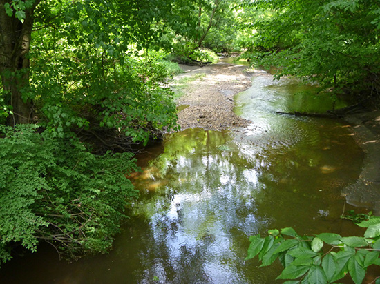
As we continue the Brook gets wider and deeper:

and has more water flowing in it:

We came to the end of the Greenway Nature Trail across from Village School and it was time for a water break and pictures:

We continued south on Old Mill Road and entered Cross Farm Park. Here we followed the Brook on an old section of trail that needs some maintenance. Continuing on a farm road we walked between fields of grass that are growing sod:

At the end of the fields we reached a tree-line at the top of a steep slope. There at the bottom we could see the Swimming River Reservoir from which much of Monmouth County gets its drinking water. Various devices indicated that we had walked about 8 miles:

A short walk got us to a parking lot where the leaders had spotted a car to shuttle drivers back to their cars. Here we took a few minutes to say good byes:
To see our summer hike schedule click here.