September 17 - Tre Cime di Lavaredo Loop
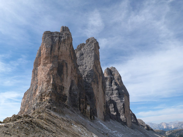
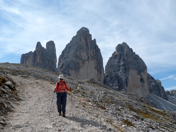
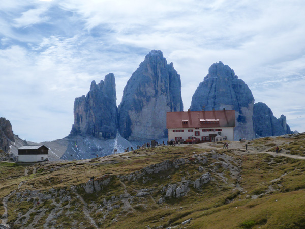
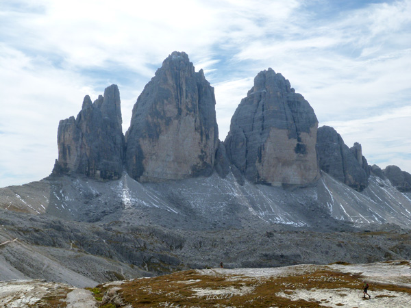
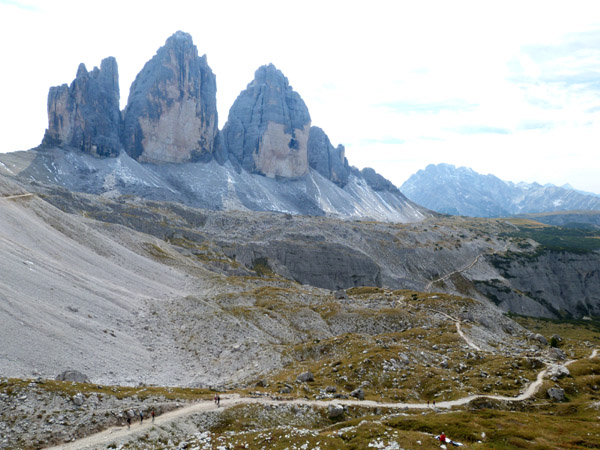
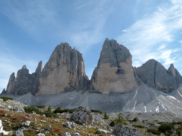
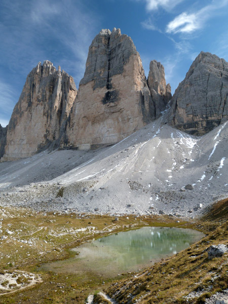
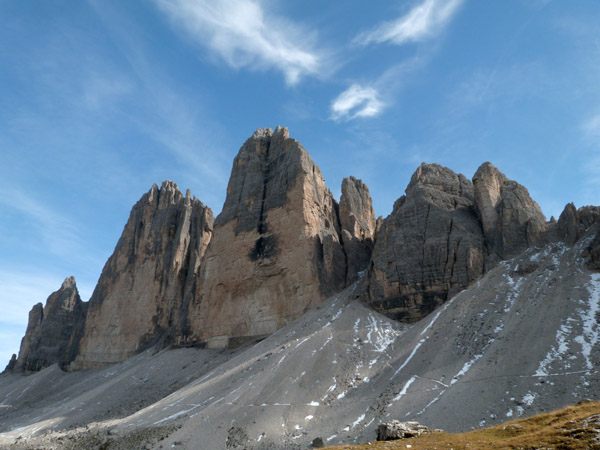
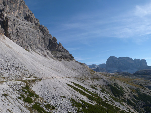
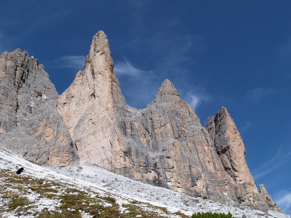
Today, our last hiking day, we succeeded in doing hike S9, The Tre Cime di Lavaredo Loop, exactly as described but not without transportation difficulties. The hike is an approximately 10km/6 mile loop around the rock formations/peaks that are called the Tre Cime or Drei Zinnen, as from certain angles it appears that there are three peaks. From other angles it looks like 2, 4, 5 or more.
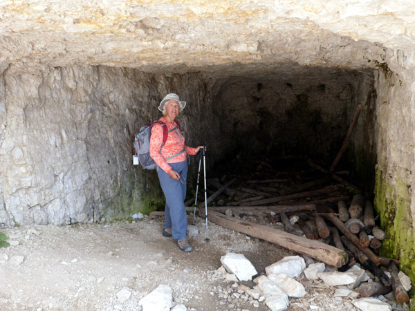
There was extensive fighting in this area during WW1 and lots of remnant tracks, caves and fortifications. Also lots of white stone constructed graffiti.
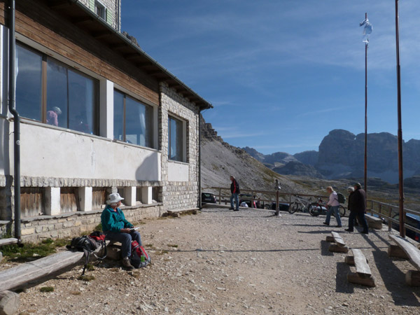
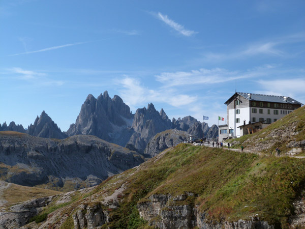
The start of the hike is Rifugio Auronzo, 2333m, at the end of a communal toll road (22E for a car). In season, whatever that is, there is a direct bus from Cortina to Misurina, the town at the base of the toll road and on up to the Rifugio. However, that bus had ended its run for the season, so we had to first take a bus to Toblach where we could then get a bus to the Rifugio. The bus to Toblach left Cortina at 8:05am and had a few passengers, a couple of them hikers, on it. It took an hour to get to Toblach where we found perhaps 50 hikers waiting in line for two buses to the Rifugio. The second bus didn't show (it was later found at the train station with another 50 hikers) so everyone including us piled on the one bus.
Comment: Cortina is in the Trentino province and Toblach is in Sud Tirol/Alta Adige province. We suspect that the current Alta Adige/Trentino border approximated the prior to WW1 Austria/Italy border. In Alta Adige we heard more German than Italian and all signs are in two if not three languages. In Cortina that is reversed and signs are only in Italian. Everywhere we had previously been in Alta Adige we had seen lots of hikers and the province has extensive programs (7-day bus passes, etc) to support hiking. None of this in Cortina. So for hiking especially in shoulder season don't go to Cortina.
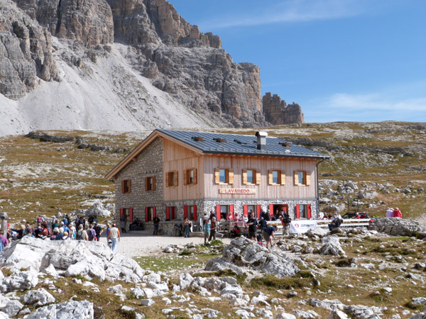
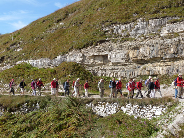
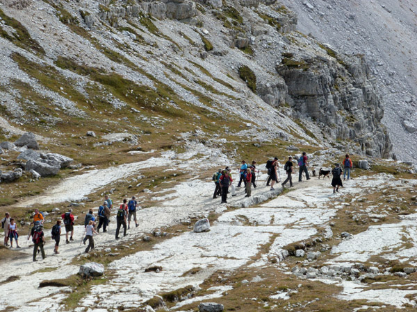
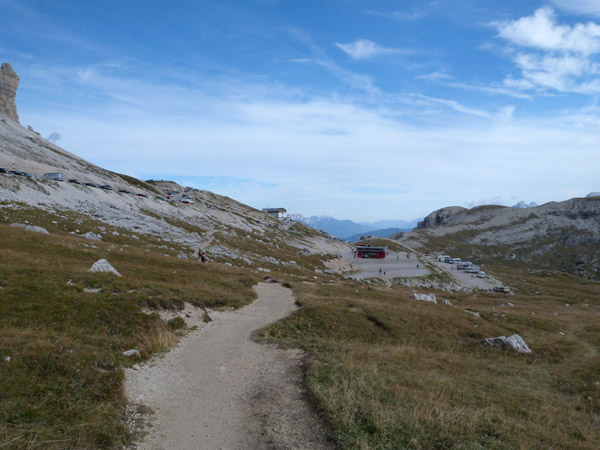
About 10:20 we reached the Rif. Auronzo, which is on the south side of the Tre Cimi, and where the temp was 58F. Together with literally hundreds of others we started our counter-clock-wise loop hike. Not just were there the hundred some folks from the two buses from Toblach, but there were 6-10 tour buses and many cars. The first section to the Rif. Lavaredo at 2344m was a relatively flat and wide gravel road. We have never been on a hike/trail with so many others.
![]() |
![]() |
![]() |
![]() |
![]() |
|
Click here for a video of the Tre Cime just behind and above us. |
|
![]() |
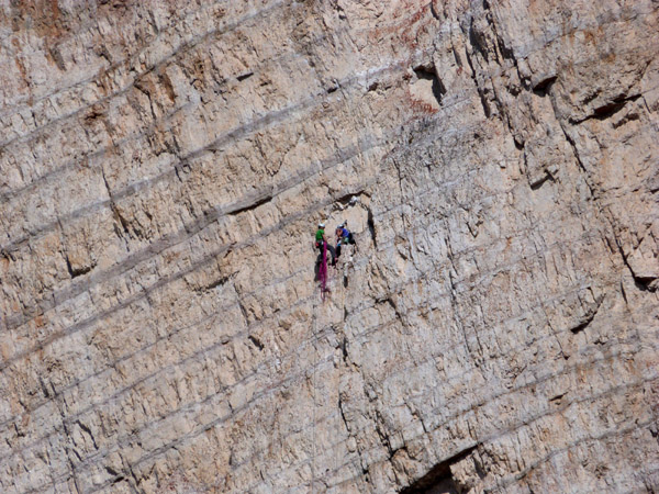
This is a telephoto view of the picture on the left.![]() |
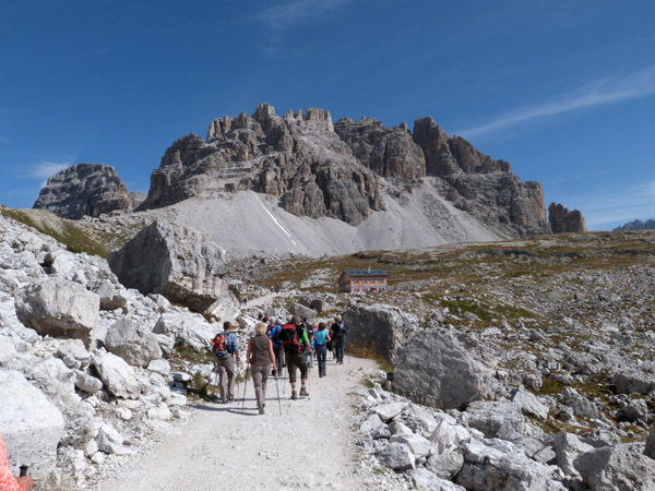
Approaching the Rifuggio Lavaredo and the eastern end of the Tre Cime.![]() |
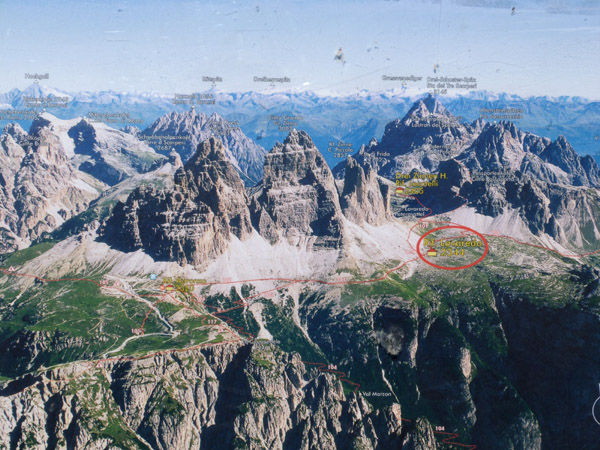
![]() |
A somewhat battered schematic of the trail. The Rifugio Lavaredo is
circled in red.![]() |
After the Rifugio the trail goes up to a pass, Passo Lavaredo, 2454m.![]() |
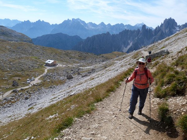
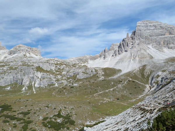
View of the basin to the north of the Tre Cime. The next Refugio
can be seen on the right.![]() |
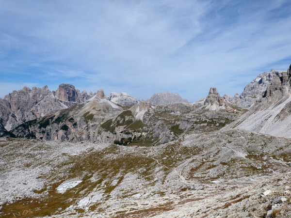
Tre Cime from the pass.![]() |
Click here for a video view from the pass of the Tre Cime and the basin to the north. Near the end some birds
fly in and out of the view. |
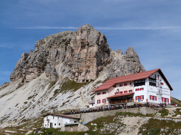
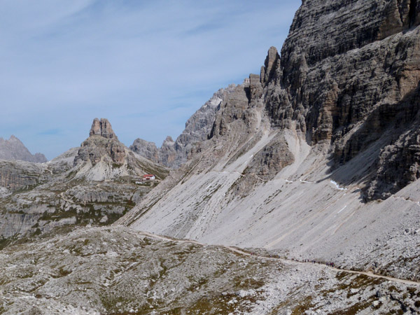
The path to Rifugio Locatelli/Drei Zinnen Hutte.![]() |
![]() |
![]() |
![]() |
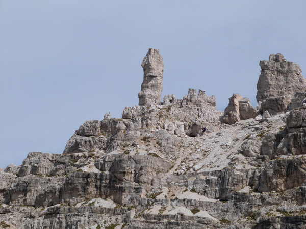
Both above and below the hut were several WWI fortifications.![]() |
![]() |
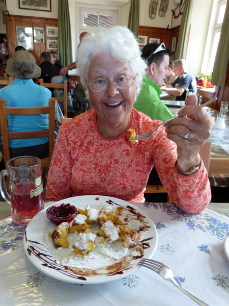
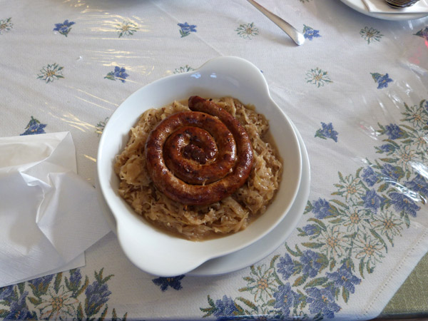
As this was our last hiking day we splurged and stuffed ourselves. Jenni
for the last time had Kaiserschmarrm with preiselberren and Ralph had
bratwurst mit Kraut.![]() |
After lunch we walked around behind the hut.![]() |
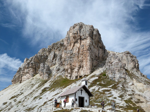
![]() |
Looking north was another huge basin with lots of trails.![]() |
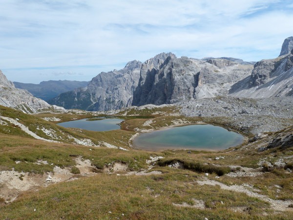
Then with many others we continue our counter-clock-wise trek around the
Tre Cime.![]() |
![]() |
|
![]() |
![]() |
![]() |
![]() |
![]() |
![]() |
![]() |
![]() |
Click here for a movie of the north basin. |
|
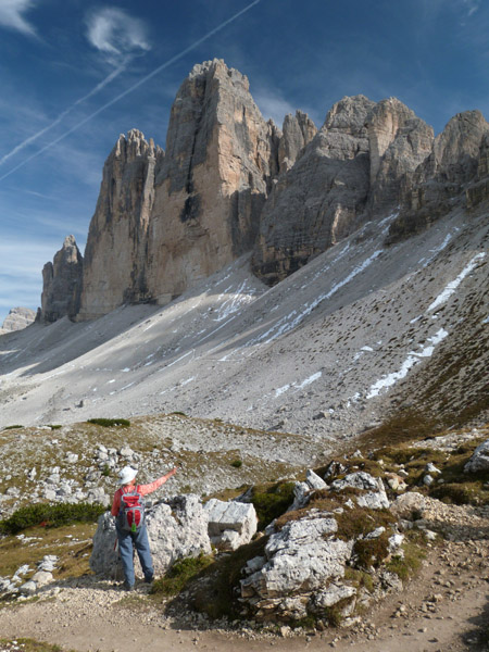
![]() |
After coming around the western end of the Tre Cime we came back to the
parking lot where we had started.![]() |
Last updated: December 3, 2012