 |
 |
 |
|
 |
 |
 |
 |
 |
|
Hiking on the Appalachian Trail in Tennessee and Virginia
Part 2: Wednesday, June 29-Thursday June 30, 2011
Wednesday, June 29: TN 91 to Low Gap, US421
Section Totals: 6.5 miles and 830' of elevation gain
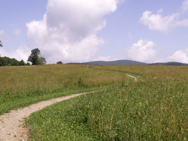
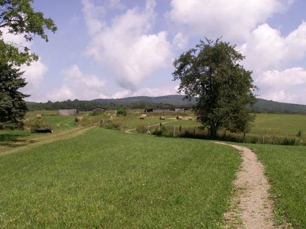
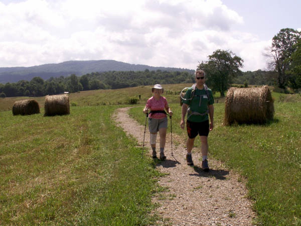
Jenni, Ralph and Pete did this short section. It begins with a one-half mile section that is handicapped accessible..
 |
 |
 |
|
 |
 |
 |
 |
 |
|
Thursday, June 30: McQueens Gap, USFS 69 to Damascus
Section Totals: 11.3 miles and 432' of elevation gain
June dropped Jenni, Ralph and Pete off at the beginning of this section which goes along a ridge with lots of side-hilling and gently downhill into Damascus.
|
The sign indicates that there is a 10 cent toll to pass here.
Moreover there was a dime sitting there. |
 |
 The Tennessee/Virginia State Line |
|
 |
 |
 |
 |
Three hikers posed under an AT sign. |
Entering Damascus |
 |
The center of Damascus |
End of the section and our 44+ year hike of the AT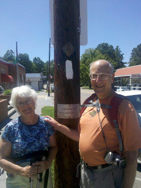 |
|
Damascus PO and location of the official Trail Register. |
The Dancing Bear and our lodging.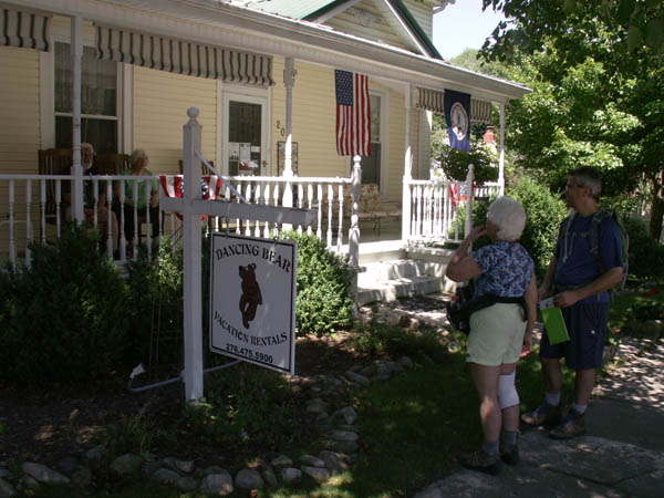 |
Last updated: July 31, 2011