 |
 |
 |
 |
 |
 |
 |
 |
 |
 |
 |
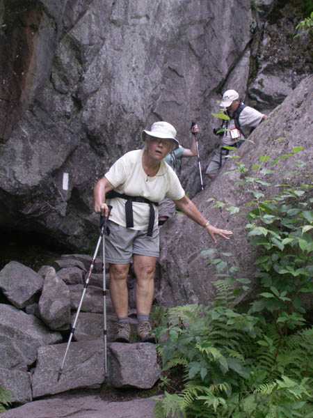
An SCA crew was busy building some rock steps in a steep section.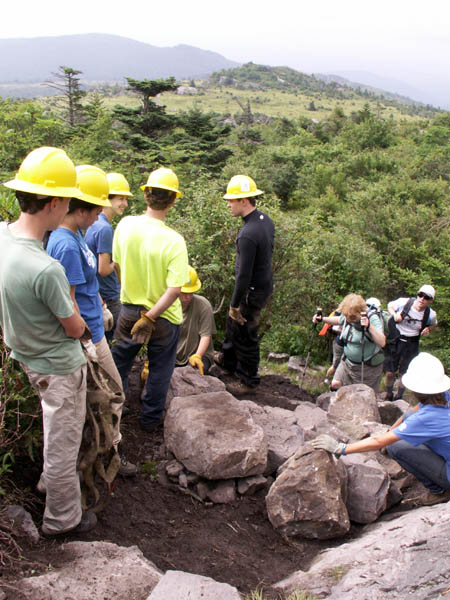 |
 |
 |
 |
 |
Marianne, Jenni and Ralph on the Summit of Mt. Rogers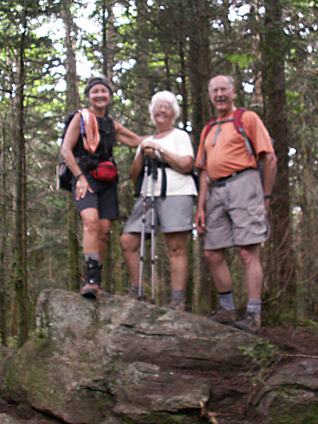 |
Lunch at the Thomas Knob Shelter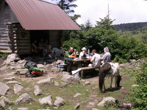 |
 |
 |
 |
 |
 |
 |
 |
|
A Hike on the Appalachian Trail in Virginia to Mt. Rogers
Wednesday July 6, 2011
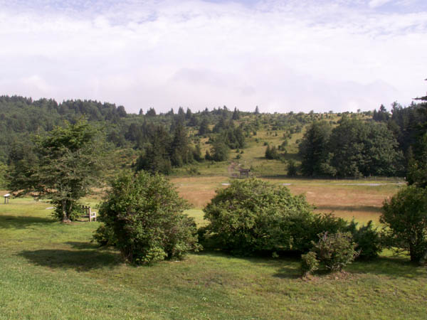
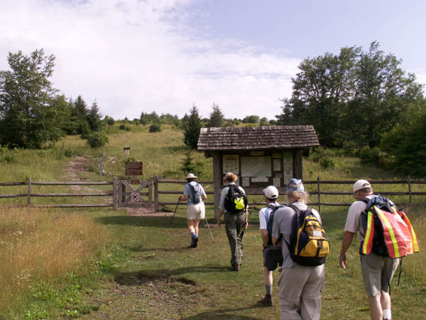
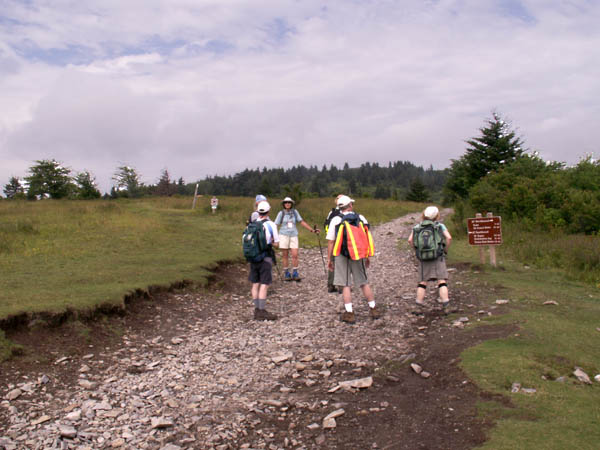
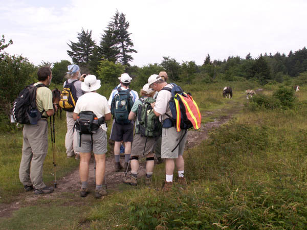
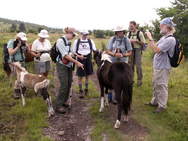
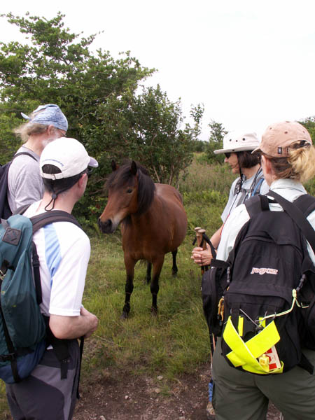
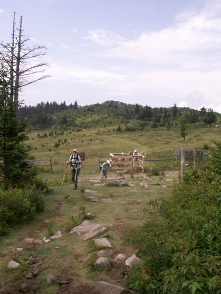
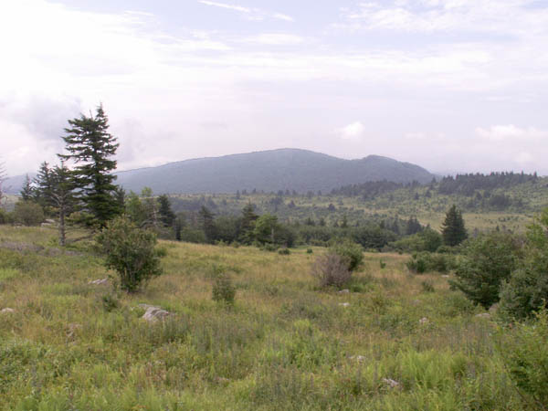
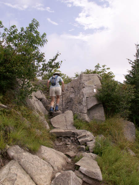
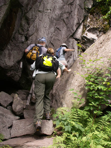
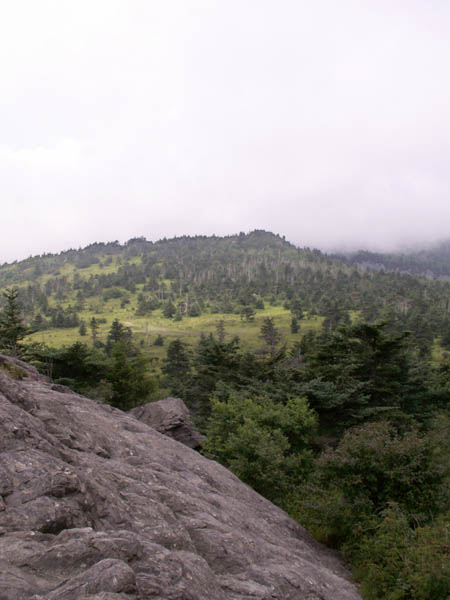
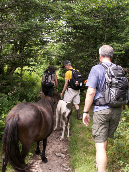
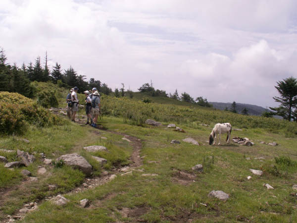
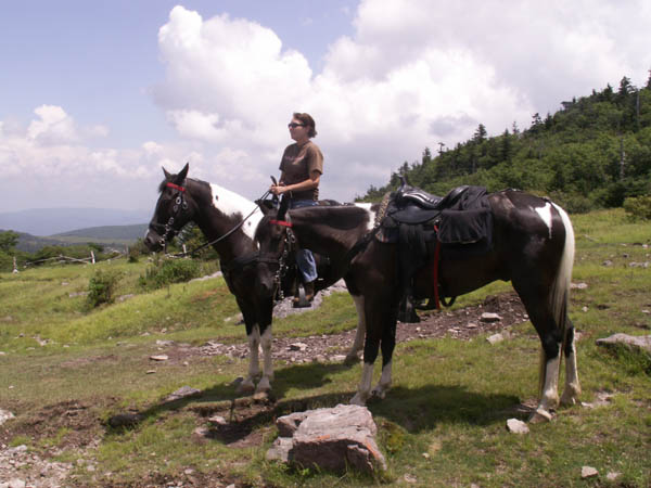
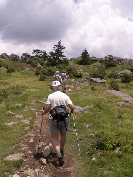
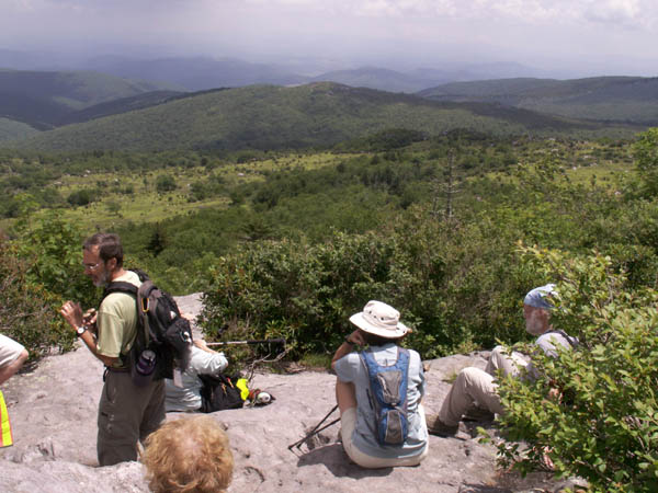
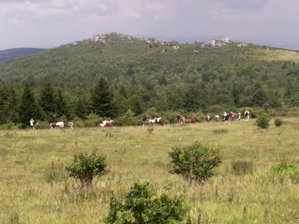
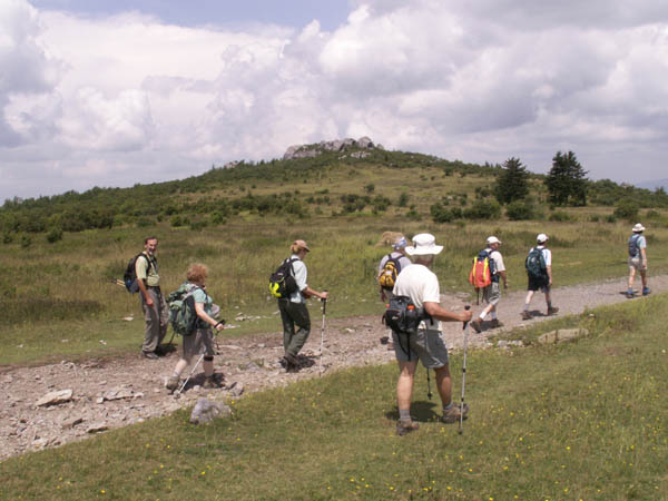
On this Trail Conference hike with 8 others led by Laurie Foot and Gary Nero, we started in Grayson Highlands State Park and climbed up one-half mile to Massie Gap where we joined the AT. We then went south on the AT about 3.3 miles to another half-mile side trail that took us to the summit of Mt. Rogers, the highest point in the state of Virginia with an elevation of 5,279 feet. The open ridge both north and south of Massie Gap is known for its views, wild ponies and in season vast quantities of high bush blueberries and blackberries. Unfortunately, we were a few weeks too early for the berries. The clouds varied during the day and there were definitely some threatening moments. However, the forecasted thunderstorms once again held off until we were in our cars heading back to the Conference.
 |
 |
 |
 |
 |
 |
 |
 |
 |
 |
 |
An SCA crew was busy building some rock steps in a steep section. |
 |
 |
 |
 |
Marianne, Jenni and Ralph on the Summit of Mt. Rogers |
Lunch at the Thomas Knob Shelter |
 |
 |
 |
 |
 |
 |
 |
|
Last updated: July 24, 2011